
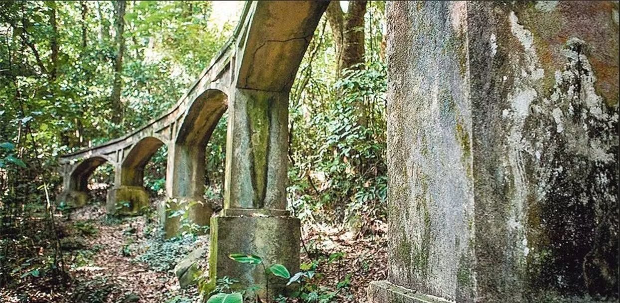
Ruins within a longer route
The Transcarioca Trail lists the old aqueduct ruins among the attractions on Section 06, Casa Amarela–Pau da Fome. The structure photographed in this guide is the Pau da Fome aqueduct. It is distinct from Açude do Camorim and Aqueduto do Piraquara; they are different places and systems.
Official route materials place it along the corridor ending at Pau da Fome park entrance, but its exact date, authorship, original length and specific function still require heritage research. For now, I do not assign a firm timeline or claim engineering details that available sources do not establish.
Water as urban memory
Pedra Branca protects springs and historic structures as well as forest. This work helps show how infrastructure and landscape connect: conveying water requires understanding the terrain, maintaining a source and protecting watersheds. The ruin is part of the surrounding Atlantic Forest and both belong to the area’s history.
INEA identifies Pau da Fome as the park’s headquarters and visitor center at 4,003 Estrada do Pau da Fome. This does not confirm a short, signed or independent route from the entrance to the ruins. The Transcarioca guide mentions them as part of the traverse. Before looking for them, ask the park whether an authorized access exists, what its condition is and which restrictions apply.
How to visit responsibly
I do not publish sensitive coordinates or turn-by-turn directions. If the park confirms access, I stay on the authorized path, do not climb the arches, collect materials or lean equipment against fragile walls. If reaching the site is part of a long hike, I plan for the section’s time and difficulty, not just for a photo of the ruins.
The park’s general administrative hours are listed as Tuesday to Sunday, 8 am–5 pm. Confirm the trail entry cutoff and current conditions with INEA; an attraction guide does not replace that notice.
What to combine it with
To understand the traverse, pair your visit with Section 06 y la the history of Casa Amarela. El Camorim Park Centre lets you compare another area where water and infrastructure also shape the park experience.
Sources
Transcarioca Trail: aqueduct ruins on Section 06 → · INEA: Pau da Fome headquarters and park information →
