
My take on the place
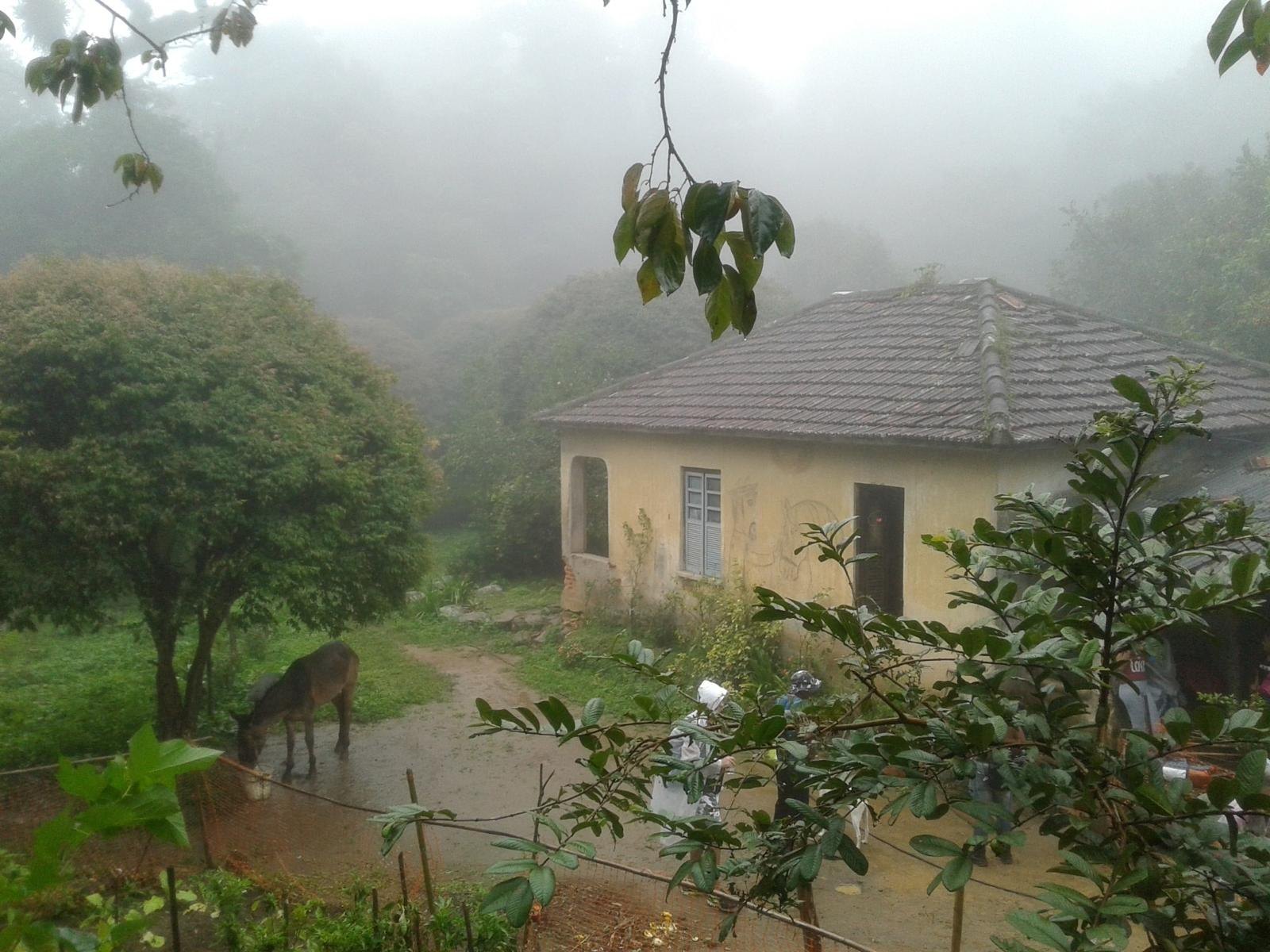
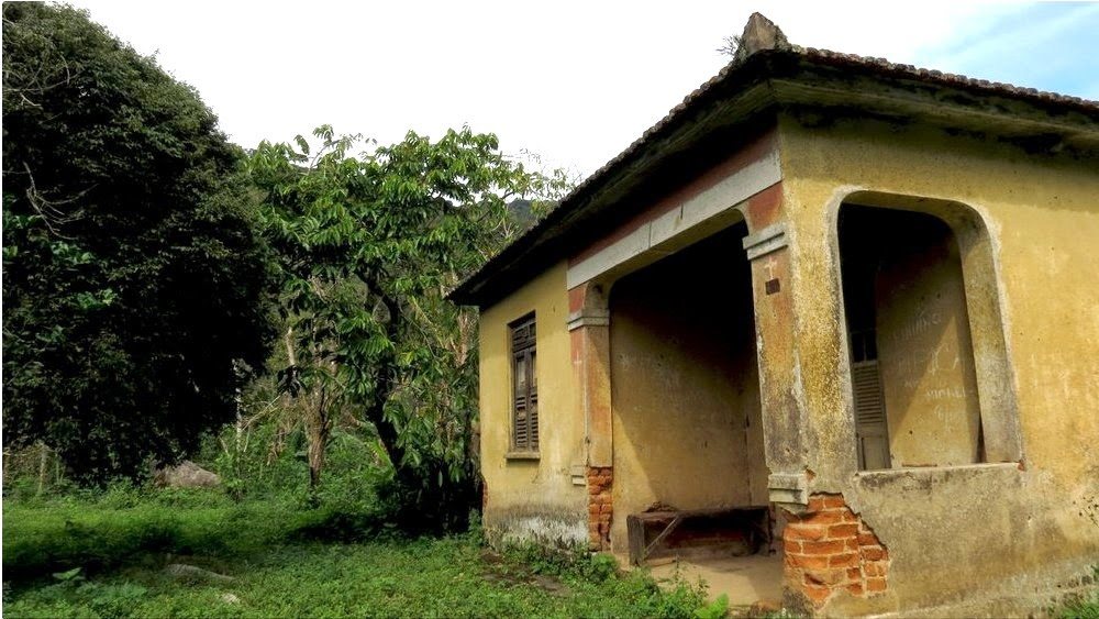
The Trilha Transcarioca describes Casa Amarela as a former house belonging to Engenho Santa Bárbara. That is the historical fact I can confirm. Its location also matters: it links routes through the Pedra Branca massif and helps explain how this forest holds layers of history, agriculture, paths and human settlement.
The available material does not establish whether the building was a manor house, slave quarters, owner’s residence or storehouse. It also does not confirm when it was built, who lived there or why it is called “Amarela”. I leave those questions open until archival and local evidence is available.
The Transcarioca junction
Casa Amarela is the end of Section 05 from Rio da Prata and the start of Section 06 towards Pau da Fome. The official guide lists Rio da Prata–Casa Amarela as 8 km and around five hours, with high difficulty. For Casa Amarela–Pau da Fome, the trail guide lists 13.4 km and about six hours. These figures cover full sections, not the time spent at the building.
Access is on foot: the Transcarioca material describes a connecting trail of around two hours from the Pau da Fome park base to Casa Amarela. Check access and park operations before setting out; this is not a guaranteed duration. Signage on the connected routes may be partial, and several paths branch through the massif.
Hours and suggested time
Ask INEA and local park staff whether the passage is open and which access is operating. If hiking, start in the morning and allow enough time to return in daylight.
Do not plan a spontaneous late-afternoon visit or combine Sections 05 and 06 as if they were one easy outing. Change plans in heavy rain, storms, dense fog, extreme heat or during a fire alert. Carry treated water or enough for the full route: water points on a trail are not necessarily potable.
Can you go inside the house?
Do not assume so. A building beside a trail is not necessarily open for entry, a shelter or a place with services. I found no current permission to enter. Stay on the authorised route, do not touch the structure and respect closures, property boundaries and park staff instructions.
Map and preparation
This guide’s map marks general access to Núcleo Pau da Fome, not Casa Amarela or the route between them. Use it to locate the area; for the trail, consult the Transcarioca’s downloadable map and official tracklog, and check conditions that day. Save files offline and do not rely on phone coverage.
Because it is a junction, plan your way in and out, total time, forecast, return transport and a contact before setting out. Bring hiking shoes, your own water, sun and rain protection, a charged phone and food. If this is your first long hike in the park, I would choose a shorter route or an experienced local guide.
What to combine it with
Casa Amarela can be understood from two sides: as the endpoint of the Rio da Prata route and as a junction towards Pau da Fome and the park interior. Cachoeira do Engenho, the jequitibá and other landmarks are linked to Section 05, but this connection is a mountain traverse, not a list of short stops. Choose one direction and allow enough time to complete the authorised route.
If a long hike is not suitable, consider a lower-effort visit to Núcleo Pau da Fome or rural Rio da Prata, provided a local activity is confirmed. I do not promise camping, lodging, food or shelter at Casa Amarela.
Planning sources
The official Transcarioca guides describe the house’s historical connection and section figures. Check routes and INEA notices before travelling.
Official Section 05 guide → · Official Section 06 guide → · Pedra Branca State Park on INEA →
