
A summit with its own identity
The trail guide lists Pedra do Ponto as the highest point of the Serra de Bangu, at a reference elevation of 932 m. It is not Pico da Pedra Branca or Pico do Piraquara: these are distinct places, even though all are part of the larger massif. I keep their names separate so the map and plan do not get mixed up.
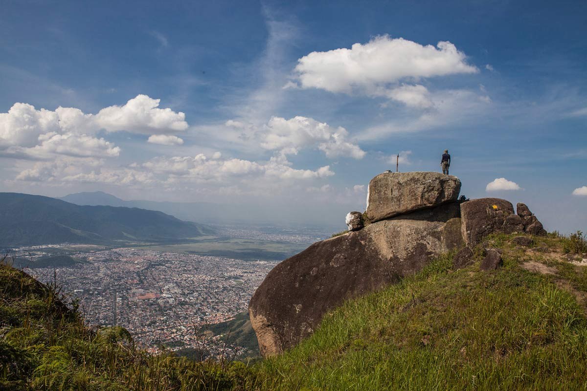
The photo on this page was taken on the Piraquara–Pau da Fome route and is credited to Rafael Duarte. It conveys the rocky landscape along the way, but we have not confirmed that the formation shown is Pedra do Ponto's exact summit.
Distance, duration and reading the map
Reference technical material lists a route of about 3.9 km and roughly four hours from Núcleo Piraquara, but it is unclear whether the distance is one-way or for the full route. I do not present it as a round-trip promise. Before setting out, check an up-to-date source for the official track, turnaround point and elevation gain.
The map on this page shows only the general entrance to Piraquara, not the route to the summit. For a mountain hike, download an offline map, check your battery and share your plan with someone. Mobile coverage can be patchy, and following a peak's name on your phone is not enough for navigation.
When to start and how much time to allow
The sector's general visitor hours, listed by INEA, are Tuesday to Sunday, 8 am–5 pm. For a summit hike, I would start as soon as it opens and ask staff about the entry cutoff and current conditions. The guide's four-hour estimate is for planning; it may not include all breaks or allow a safe return at every pace.
Avoid a late start, especially in hot weather, with rain in the forecast or if you have little experience. If the weather changes, visibility drops or the route becomes unclear, turning back early is the sensible choice.
Preparing for a mountain hike
I would bring enough water for the day, food, grippy shoes, sun protection, insect repellent, light long-sleeved clothing, an offline map and a power bank. Add a basic first-aid kit and a layer for changing weather. Do not rely on natural water sources, mobile signal or a particular park service without confirming it first.
Vegetation, roots and wet rock can make the hike much harder. Do not create shortcuts, approach edges for a photo or leave your group. This guide does not describe a climbing route or recommend attempting technical sections without an appropriate guide and equipment.
Who is it for?
I would reserve this hike for people with mountain-walking experience and good fitness, after confirming the route and its figures. I would not call it a casual or family outing based only on the stated distance. If the group has different paces, agree on a turnaround point in advance and use the most cautious pace as your guide.
Ernestinho's tip
Before setting out, I ask three questions: Which Pedra do Ponto am I heading for? Which map confirms the trail? What time should I be back? If any answer is unclear, I check with the park or a local guide first.
What to combine it with
A visit to Núcleo Piraquara can be a lower-effort alternative. If you have the energy and conditions allow, also read the guide to Piraquara Aqueduct; the cultural visit and the summit hike require different time and conditions.
Sources for planning your hike
INEA: park, hours and contact → · Transcarioca Trail: Section 07 and map →
