
First, a clarification about the name
INEA describes a heritage structure connected to the water system, known as Aqueduto Veiga Britto or Túnel Lacerda. The Veiga Britto aqueduct was inaugurated in 1966 and is linked to a system about 34 km long. At Piraquara, the notable section is Trecho do Governador, the only part used for recreation according to the institutional source consulted.
That stretch is about 18 meters high and 200 meters long. I make this distinction so I do not say “the aqueduct is 200 meters long” when that figure refers to one segment of a much larger system. Historical names vary across sources; until there is one accepted heritage name, I explain both uses without pretending they are interchangeable in every context.
Water, forest and the city
INEA explains that before the aqueducts, Realengo and Bangu received water from Rio Piraquara, whose sources are inside the park. As the city grew and demand for water increased, the Guandu system gradually took over. This infrastructure helps tell how forest protection, water sources and Rio’s expansion are connected.
When I look at this stretch amid Pedra Branca’s greenery, I see more than a picturesque ruin: I see engineering, landscape and a history of water supply. Observe the structure only from permitted areas. Recreational use does not mean unrestricted access to every arch or elevated area.
Birds from a different vantage point
INEA says this stretch is near the forest canopy and attracts caracaras, hawks and other birds. Its location may offer a different perspective for observing the forest. I cannot promise sightings of a particular species; they vary with the day, noise, weather and season.
If you enjoy birdwatching, bring binoculars if you have them, walk quietly and do not play bird calls or chase birds. Take photos only from safe, authorized spots without approaching edges or trampling fragile plants.
Access, hours and duration
The aqueduct is at Núcleo Piraquara, Rua do Governo, s/n, in Realengo. INEA lists park visiting hours Tuesday to Sunday, from 8 am to 5 pm. I found no separate official duration for visiting this section or complete information on physical accessibility, so I will not invent a time from the entrance.
I would suggest arriving early, especially if you want to watch birds and combine heritage with a walk. Morning is a practical suggestion, not an official activity schedule. Confirm opening, visitor limits, access to the section and services before traveling.
Climbing and rappelling are separate activities
INEA mentions climbing and rappelling at this site. It is important to separate those technical activities from a tourist visit. I do not recommend climbing the structure or treating anchors, arches or railings as guaranteed equipment. If you want to climb, ask the park about authorization, rules, operators and instructors. This guide does not provide technical instructions.
What to bring and how to care for the site
For a general visit, I would bring drinking water, sturdy shoes, sun protection, insect repellent and a charged phone. If you plan to watch birds, bring binoculars and keep noise down. Respect marked limits, do not scratch or remove anything and carry out your waste. After heavy rain, stones may be slippery and vertical activities should be avoided; during a storm, stay away from exposed structures.
Ernestinho's tip
I would start by asking what I am looking at: the system spanning dozens of kilometers, the aqueduct or the recreational stretch of Governador? That small distinction makes the story more interesting and prevents one figure from describing the wrong thing.
What to combine it with
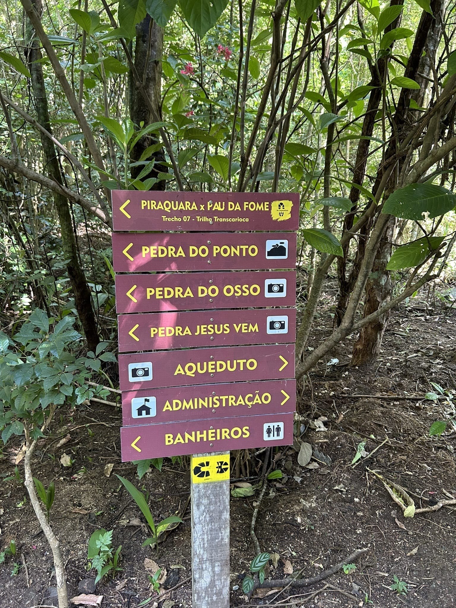
The aqueduct is part of the landscape of Núcleo Piraquara. You can add a visit to Cachoeira do Barata, if it is open, or read about Transcarioca Trail, Section 08. For climbing or rappelling, arrange a separate activity and confirm the rules; do not add it spontaneously to a cultural outing.
Sources
INEA: history, dimensions, birds and opening hours → · INEA: information about the site and visitor rules →
