
What the route confirms
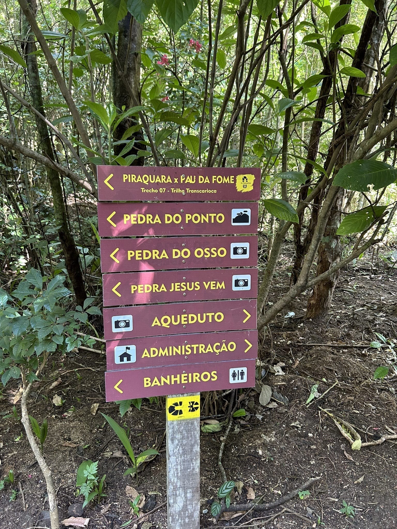
The Transcarioca Trail lists Aqueduto do Barata as an attraction on Sections 07 and 08 in Pedra Branca State Park. The Section 07 guide describes it among the treetops; Section 08 links it to Piraquara’s recreation area. This confirms it as a landmark on those routes.
The trail guide dates its construction to the 1960s, during Carlos Lacerda’s administration, and links it to water supply for the South Zone and Barra. I treat these details as information from the Transcarioca guide until an independent heritage source confirms the date, system and people responsible.
Similar names do not mean the same structure
Pedra Branca has several water structures. Aqueduto do Barata appears near the Piraquara path and Cachoeira do Barata. Aqueduto do Piraquara has a broader heritage guide describing the system and Trecho do Governador. I do not assume the names refer to exactly the same structure or combine measurements from different systems; the naming and physical identity are still being researched.
Access, map and visit
There is no independently verified entrance for visiting the aqueduct. Available references place it along Sections 07 and 08. Section 07 is 11.7 km and about six hours, rated highly difficult with difficult navigation; Section 08 has its own route details and safety advice. Those figures describe the full sections, not a visit to the aqueduct.
This guide’s map marks Núcleo Piraquara as a general reference, not the structure itself. Check access, conditions, hours and rules with INEA before setting out. Never climb into the channel, walk on the arches or remove stones. Elevated or wet surfaces in a natural area may be unstable and climbing can damage the heritage site.
What to combine it with
For more context before your visit, read about Núcleo Piraquara and the Section 07. If your goal is to view this structure, choose the official trail section and plan around confirmed conditions; do not assume it is a short walk just because its name appears on a map.
Sources
Transcarioca Trail: Section 07 and historical reference → · Section 08: attractions and safety advice → · INEA: park entrance and rules →
