
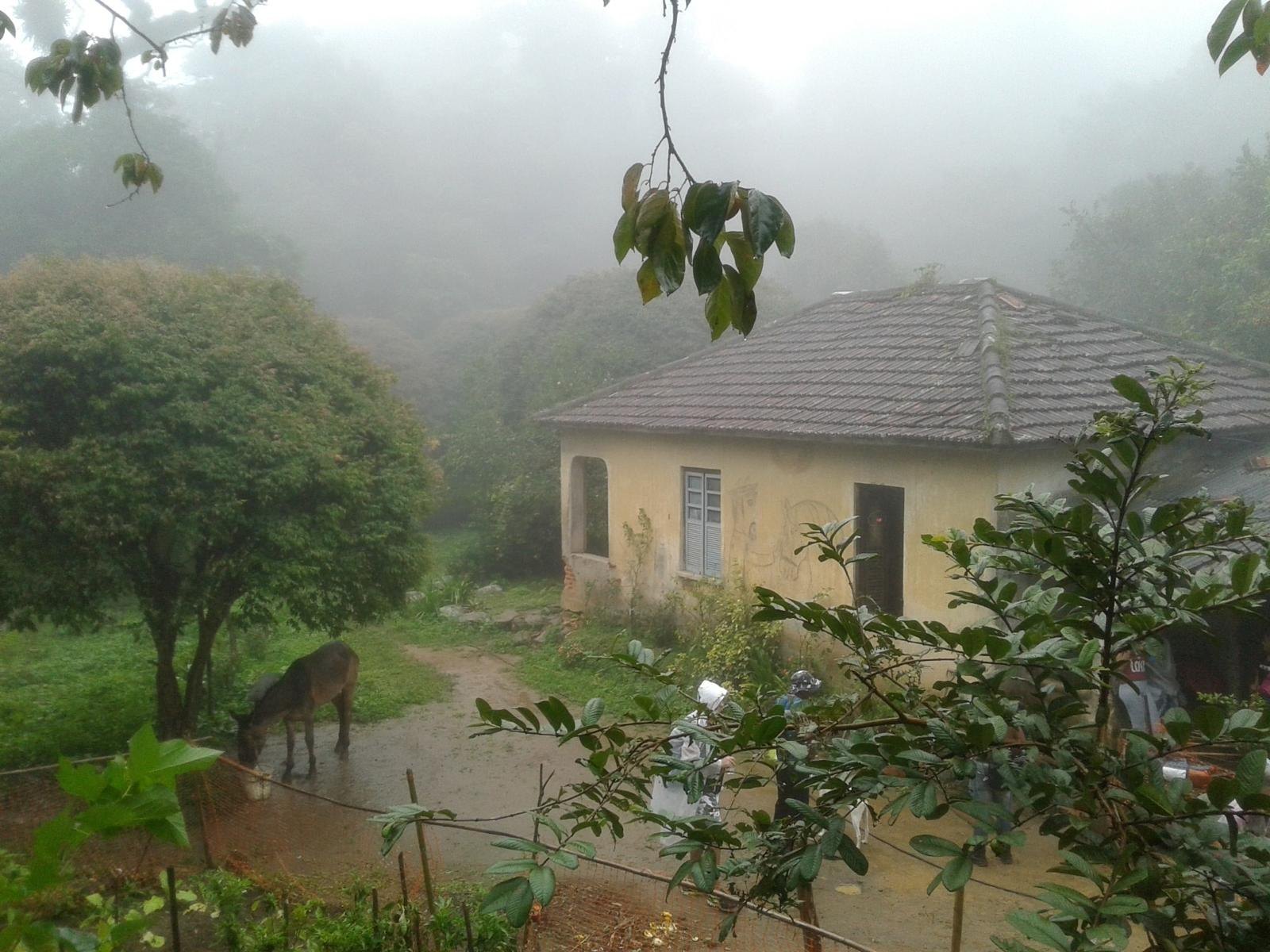
Rio's forest is also home to farmers
Within one of Latin America's largest cities, the Pedra Branca massif has a long relationship with family farming. Families have cultivated the land, traveled its roads, carried food, managed water and learned to live alongside the forest. The landscape is neither purely natural nor purely urban; it is shaped by relationships between people and their environment.
Farming in the massif predates the creation of Pedra Branca State Park in 1974. The park's establishment changed relationships between land, residence, cultivation, conservation and regulation. I would not reduce this history to either “farmers damaged the forest” or “the park banned all farming”; it calls for context, local voices and site-specific information.
Products, seasons and what still needs research
Bananas, persimmons, cassava and vegetables appear in different accounts of the massif. I do not present them as one definitive list of current products or promise they will be available at a particular market: crops depend on the community, season and way they are sold. Check with farmers and organizations in each area to learn what is grown today.
Medicinal plants are also part of knowledge passed down in communities. Recognizing them as heritage does not mean recommending treatments or publishing health recipes without evidence and consent.
Agroecology and conservation
The relationship between farming and conservation deserves concrete examples: soil management, crop diversity, water protection, reduced chemical use and vegetation cover. I do not call every crop surrounded by trees an agroforest or claim that a particular practice is used throughout Pedra Branca. That term requires evidence and a specific location.
Farming is not tied to just one community. Vargem Grande and Cafundá Astrogilda, Rio da Prata and Campo Grande, Guaratiba and the Jacarepaguá slopes each have distinct histories. Recognizing one should not erase the others.
Roads, water and memory
Some roads are used by families, for transporting goods or reaching crops; others serve water systems, farms or newer recreational trails. Not every rural road is a tourist trail. Stay on public, marked routes, do not pass through gates, leave fences open or photograph homes or people without permission.
Water connects farming and the city: springs, channels, historic systems and supply networks all form part of the massif's history. A stream beside the road is not automatically safe to drink from or an invitation to swim.
How to learn about this history respectfully
One simple way to connect may be buying directly from farmers at a public market, once the event, date and vendors have been confirmed. I do not publish market schedules or rural visit bookings without a current source. Community activities should be organized by the people hosting them and benefit that community.
Ask permission before photographing a plantation or work activity. Let farmers and communities explain what they want to share. A beautiful landscape does not replace attribution, context or consent.
What to combine it with
I would pair this overview with the general guide to Pedra Branca State Park, the the Rio da Prata and Campo Grande landscape and the guide to Cafundá Astrogilda. To visit a specific place, choose a park sector or trail with confirmed current access, not an arbitrary farm road.
Sources and editorial approach
This guide summarizes Ernestinho's research notes on farming in the massif, Cafundá Astrogilda, Rio da Prata and rural roads. Experiences, associations, farmers and markets must be checked directly before they are recommended.
INEA: Pedra Branca State Park sectors → · AS-PTA: Cafundá territory and participatory mapping →
