
One massif, many gateways
Pedra Branca State Park protects 12,491.72 hectares of Atlantic Forest in Rio's West Zone, spanning parts of 17 neighborhoods. I describe it as a living massif that protects forest, springs, landscapes and heritage, not as one urban park with a central entrance. The distance between its sectors changes how you should plan your day.
I always start with three decisions: what I want to see, which sector provides access, and how much time I really have to go in and return. INEA's general map shows the protected area's boundaries, but it is not a trail map and does not confirm public access to a path, waterfall or property. For hikes, consult the official guide and visitor portal; for a simple visit, confirm which sector you plan to use.
A mental map of the sectors
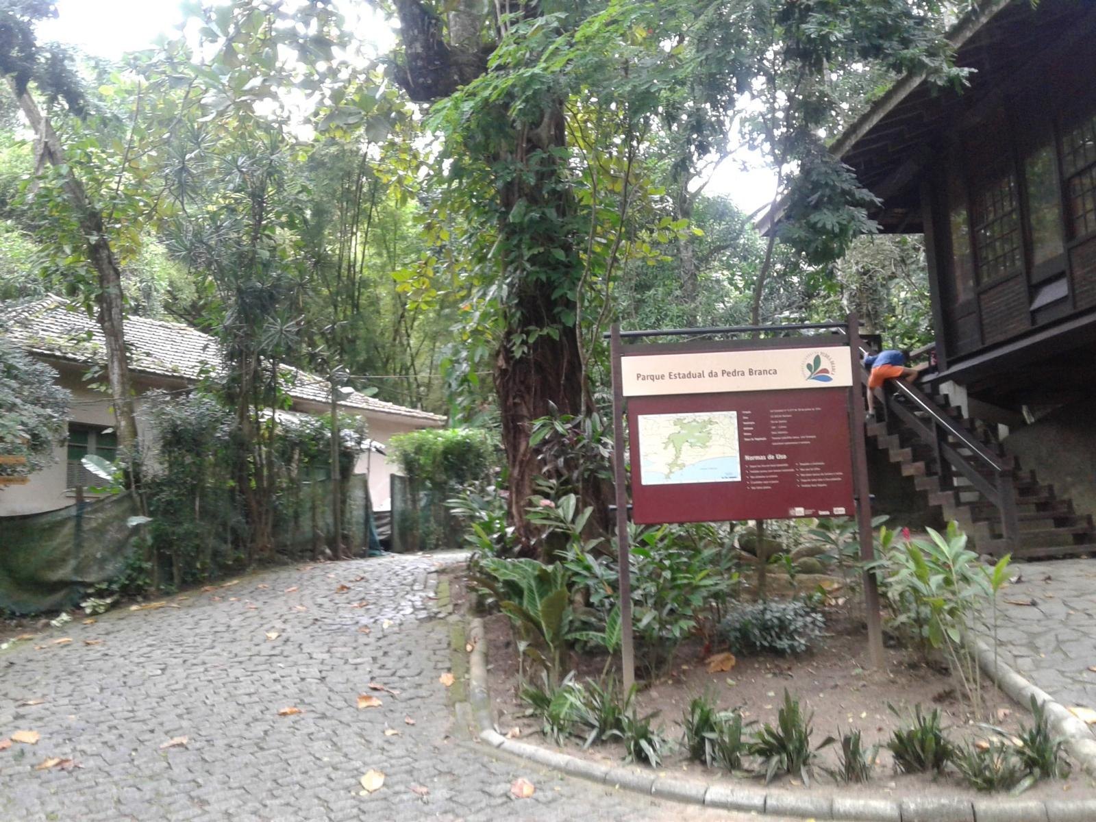
Pau da Fome, Taquara: the park headquarters and visitor center, with a permanent exhibition and recreation areas. It is a good gateway to learn about the park's history and explore hikes in this sector. INEA's directions from Largo da Taquara follow Estrada do Rio Grande and Estrada do Pau da Fome.
Camorim, Jacarepaguá: access is from Estrada do Camorim. INEA describes a trail of about 4 km to the reservoir, with signs about the water collection and treatment system. Ask the park staff how to interpret that distance and check trail conditions before treating it as a round trip.
Piraquara, Realengo: offers recreation areas, climbing routes and pools. INEA identifies Cachoeira do Barata as the only waterfall open for swimming. Conditions can change, so I check before planning a day in the water.
Vargem Grande and the Cafundá Astrogilda quilombola community: the outpost and community are part of a territorial history that deserves respect and listening. I do not treat the neighborhood or community as a free-access attraction; for cultural activities or organized visits, I seek guidance and permission from the people who offer them.
Rio da Prata, Campo Grande: INEA's current directory lists Núcleo Rio da Prata at Estrada da Batalha, s/n. I use this official reference to locate the sector and confirm opening, access and permitted activities directly with park staff before setting out.
Campo Grande and Rio da Prata
When I take you to Rio da Prata, I do not reduce it to a restaurant or waterfall. Rural roads, farms, local production, water, forest and neighborhood life meet here, with the massif in the background. To describe the area properly, future guides need to distinguish confirmed sites, their owners or managers, permissions, transport and community activities. This general guide does not promise access to every river, pool or waterfall shown on old maps and posts.
I would plan a visit around one simple, confirmed goal: see the rural landscape from an authorized site, take part in an activity the park has open, or book a local meal. Ask how to get there and back, whether you need a reservation, what you can do on site and whether weather affects access. There is no basis for presenting all of Rio da Prata as one marked trail or recommending swimming at an unverified spot.
Hours and times I recommend
INEA visitor information lists the park as open Tuesday to Sunday, 8 am to 5 pm. The official page also describes this as administrative hours and advises checking each site's specific rules. For a hike, I suggest reaching the sector between 8 and 9 am, starting early and leaving time to return. For a short visit or the visitor center, 9 to 11 am usually gives you time to get oriented without rushing the closing time. These suggested times do not replace confirmation that a specific sector or trail is open.
Ernestinho's tips
Choose the sector before entering Pedra Branca in your map app; it may send you to a different entrance than the one you want. Check opening and hours on the day, save an offline map and plan your return before entering. At entrances with a trail logbook, register your group and schedule as INEA recommends. Bring water, grippy shoes, sun and rain protection and a small first-aid kit. I cancel a hike during heavy rain or storms, or when the ground or rocks are wet and muddy.
Inside the park, I stay on marked trails, avoid shortcuts, never pick plants or feed animals, carry out my rubbish and leave pets at home. Natural areas can be risky even when trails are open; choose a walk that suits your group and ask for guidance if you do not know the route. Do not rely on mobile signal to find your way back.
What to combine it with
For a first visit, I would pair Pau da Fome with the visitor center and a short walk that staff confirm is open. In Camorim, I would spend the day in the forest and by the reservoir without adding a trip to Realengo. In Piraquara, the natural pairing is the recreation area and Cachoeira do Barata when swimming is permitted. In Rio da Prata, I would choose nature and a meal or rural experience booked in advance. I treat Taquara, Camorim, Realengo, Vargem Grande and Campo Grande as separate outings: traveling between them can take much of the day.
Maps and sources to plan your visit
INEA's PDF map helps explain the park's extent and boundaries. To choose a specific trail, INEA publishes a Trail Guide with 23 routes and maps, as well as a visitor portal with route, schedule and accredited guide information. I use the navigation map to reach the right entrance and the official maps to choose a route.
