
Which section this is
The Transcarioca describes this route as Bom Retiro → Visitor Center, within Tijuca National Park. It lists 6.6 km · approx. 4 h and rates the difficulty as Moderate. Navigation, trail markings, sun exposure and water details appear in this page’s quick guide. They are a reference for comparison, not a substitute for park notices or an assessment of trail conditions that day.
Tijuca National Park lists general opening hours every day from 8 am to 5 pm. Those hours alone do not confirm that every gate, road, trail or service is open. Before setting out, check official notices and the latest entry time for the access point you plan to use.
What you’ll see
Ponte Pênsil, Largo do Bom Retiro, Morro do Archer, Bico do Papagaio, Morro da Cocanha, Gruta do Papagaio and Centro de Visitantes. Not every stop is easy to access; stay on marked trails.
The climb to Bico do Papagaio
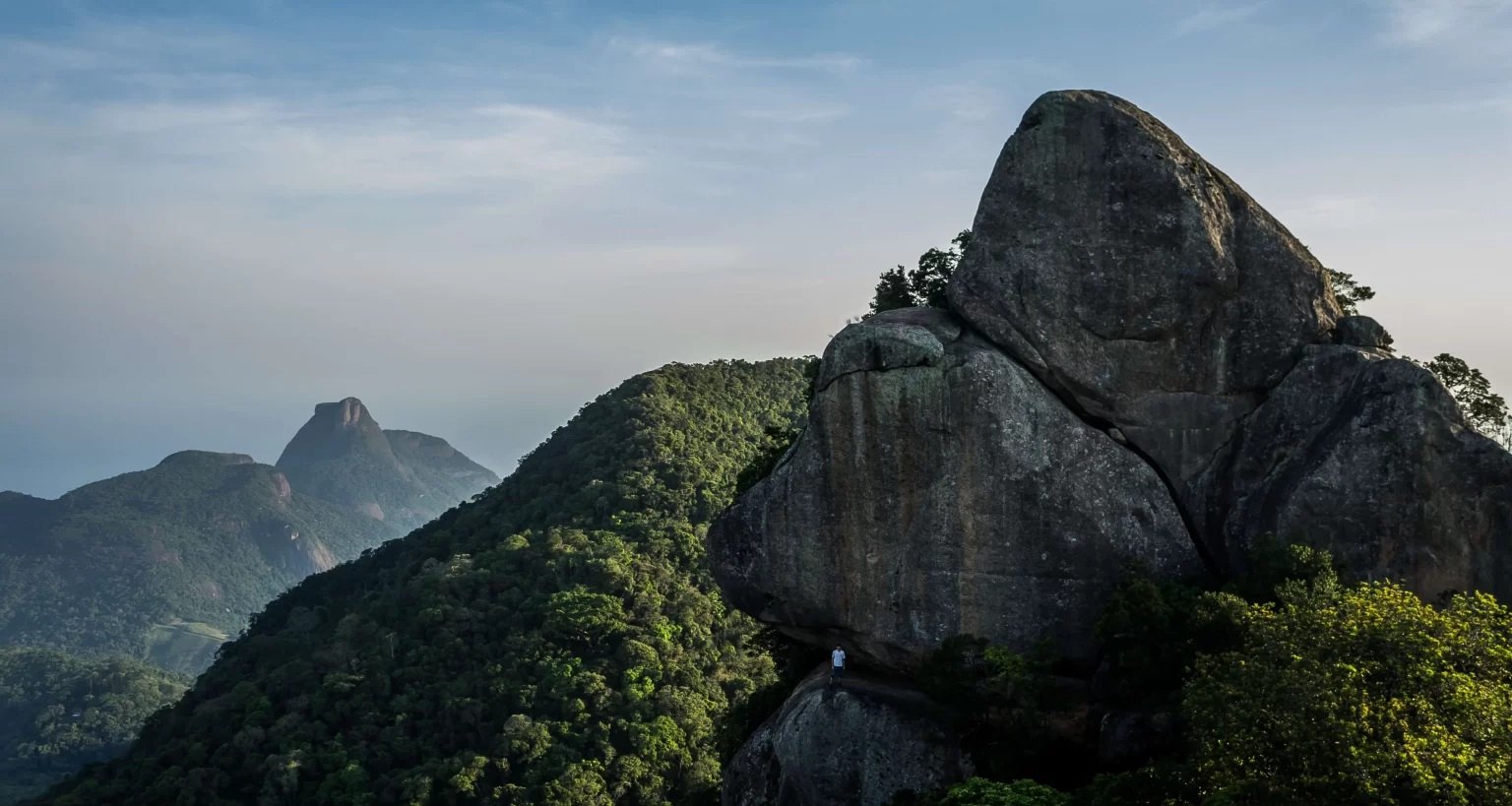
The Transcarioca guide notes the effort required to reach Bico do Papagaio’s summit and the view from above. This section includes scrambling; do not mistake it for a fully flat or paved walk. If you experience vertigo, have little experience or are unsure about the terrain, ask the park before deciding.
Bridge, hills and forest
Highlights include the suspension bridge, Morro do Archer, Bico do Papagaio, Morro da Cocanha and Gruta do Papagaio. They are landmarks along the corridor; I cannot promise each is an easy detour, and you should not enter caves or leave the marked trail to collect them all.
How to prepare and when to start
I prefer a stable-weather morning and an early start, once access is confirmed open. Allow for the hike, breaks, photos and return; do not use the estimated duration as your only planning time. Bring your own water, some food, sun protection, insect repellent, grippy shoes, a light layer and an offline map. Slow down on scrambling sections, mud and wet rocks.
If there is heavy rain, a storm, slippery ground or poor visibility, I leave the mountain for another day. Do not enter reservoirs or waterfalls where swimming is prohibited, and do not feed wildlife.
Map, endpoints and return
The guide connects Largo do Bom Retiro and Centro de Visitantes. The map point helps locate the general finish, but it is not for navigating the trail. Use the downloadable Transcarioca route for navigation. I do not use this page’s map as a track or directions. If the start and finish differ, plan your return in advance; do not assume rideshare will be available at the exit.
What to combine it with
When you finish at Centro de Visitantes, check which exhibits or services are open and take a relaxed break. I would not combine this section with a second climb to Bico do Papagaio if the group is already tired.
Sources and updates
Transcarioca · official section guide and downloads → · Transcarioca · contacts and general opening hours → · ICMBio · Tijuca National Park →
