
My take
I like this outing because it does not turn the day into a long expedition. You walk through the forest to a coastal viewpoint, with Prainha nearby when you come back down. The idea is to enjoy both at an easy pace without treating the beach as an automatic extension of the trail: sea conditions, traffic and park capacity also matter.
What you can see from the viewpoint
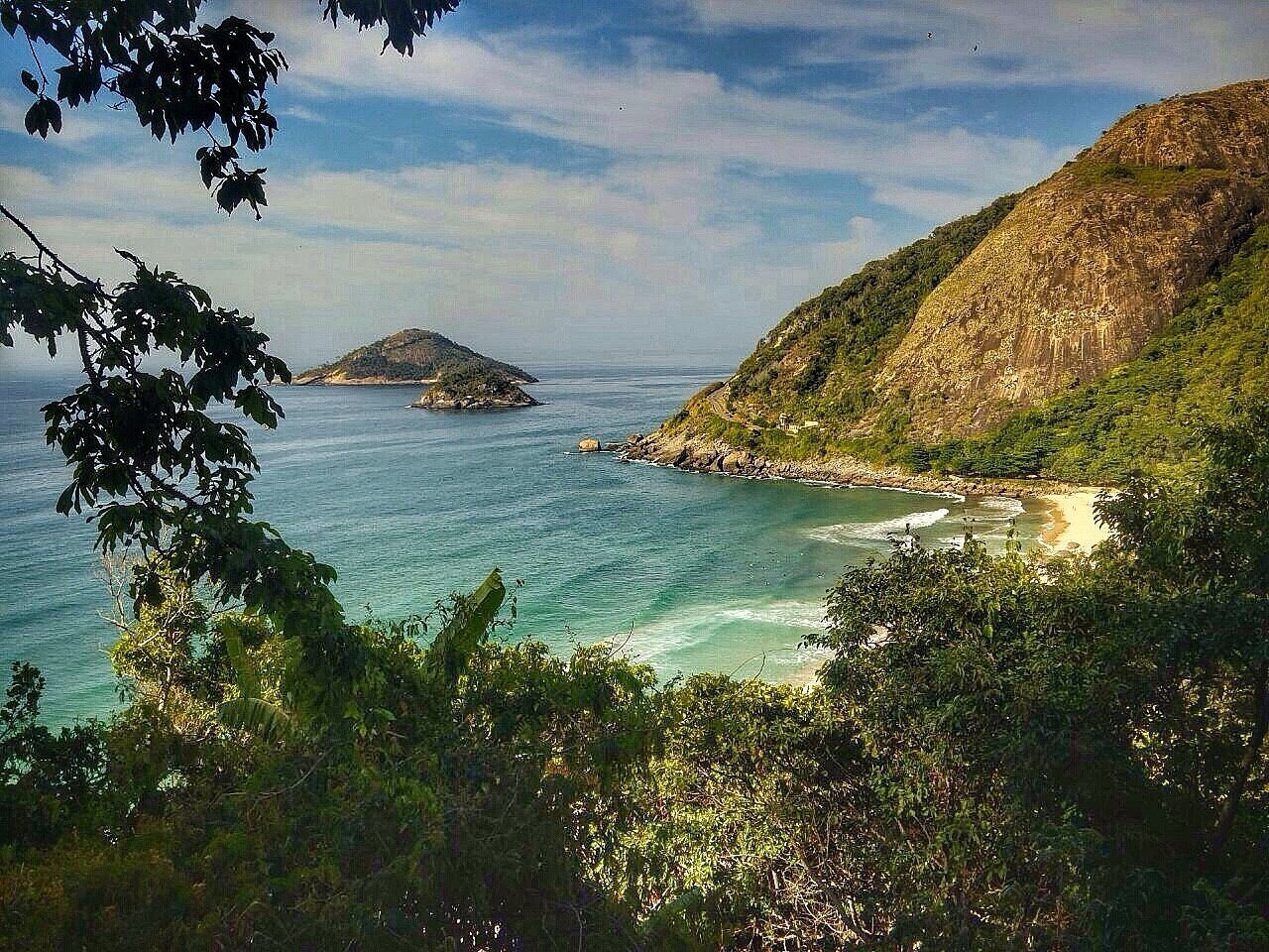
The city highlights views of Praia da Macumba, Pedra do Pontal, Recreio dos Bandeirantes and Barra da Tijuca; on clear days, Pedra da Gávea may also be visible. Visibility changes with cloud cover and humidity. I would choose a clear morning and keep an alternative plan in case the coast is overcast.
Hours and weekend reservations
The park is open Tuesday to Sunday, including holidays, from 6 am to 5 pm. The city website says hours extend to 6 pm during daylight saving time. The Trilha do Mirante do Caeté has a published weekend limit of 60 people per hour and requires advance registration by email at pnmprainha@gmail.com. Confirm the procedure and availability before traveling; do not assume that arriving early replaces registration.
I suggest going early in the morning to give yourself more time for the trail, heat, visitor limit and parking. This is a planning tip, not a special viewpoint schedule.
The walk and timing
The route follows a forest trail in the park. The city does not publish an official distance or duration, so I will not present figures from community tracks as definitive. Allow time for the climb, breaks, viewpoint and return, and ask about trail conditions on the day.
Field notes cited in the research describe a short climb and a brief section of metal steps with a handhold. Conditions can change: if you have limited mobility or balance, or a fear of heights, check with park staff first. The summit is not described as wheelchair accessible.
How to get there and map
The park entrance is on Avenida Estado da Guanabara, across from Prainha in Recreio dos Bandeirantes. The city source describes general park access but does not maintain complete, current public-transit directions to the entrance. By car, expect traffic toward Prainha to build up on weekends and holidays; if using a ride-hailing app, plan your return as well.
The map below marks the park’s general entrance, not the trail route or the exact viewpoint. Download the map from the official site or confirm the route with park staff.
What to bring and how to read the weather
Bring your own water, grippy shoes, sunscreen, insect repellent and a charged phone. Even in the shade, heat and humidity add to the effort. After rain, roots may be wet and rocks muddy or slippery; I would postpone the hike during a storm or heavy rain. Dense fog can also block the view.
What to combine it with
The most natural pairing is Caeté and a visit to Prainha, planned around sea conditions, the trail’s visitor limit and access capacity that day. Pedra do Pontal is also in the West Zone, but I would not automatically add it to the same outing; each access route, effort and condition needs its own time.
Ernestinho's tip
If you tell me, “I want a short Atlantic Forest walk and then a sea view,” Caeté makes my list. I first check the weekend visitor limit and access to Prainha. That way the outing starts calmly, without a surprise at the entrance.
Sources and planning
Rio City Hall: Prainha Natural Park, hours and trail reservation →
