
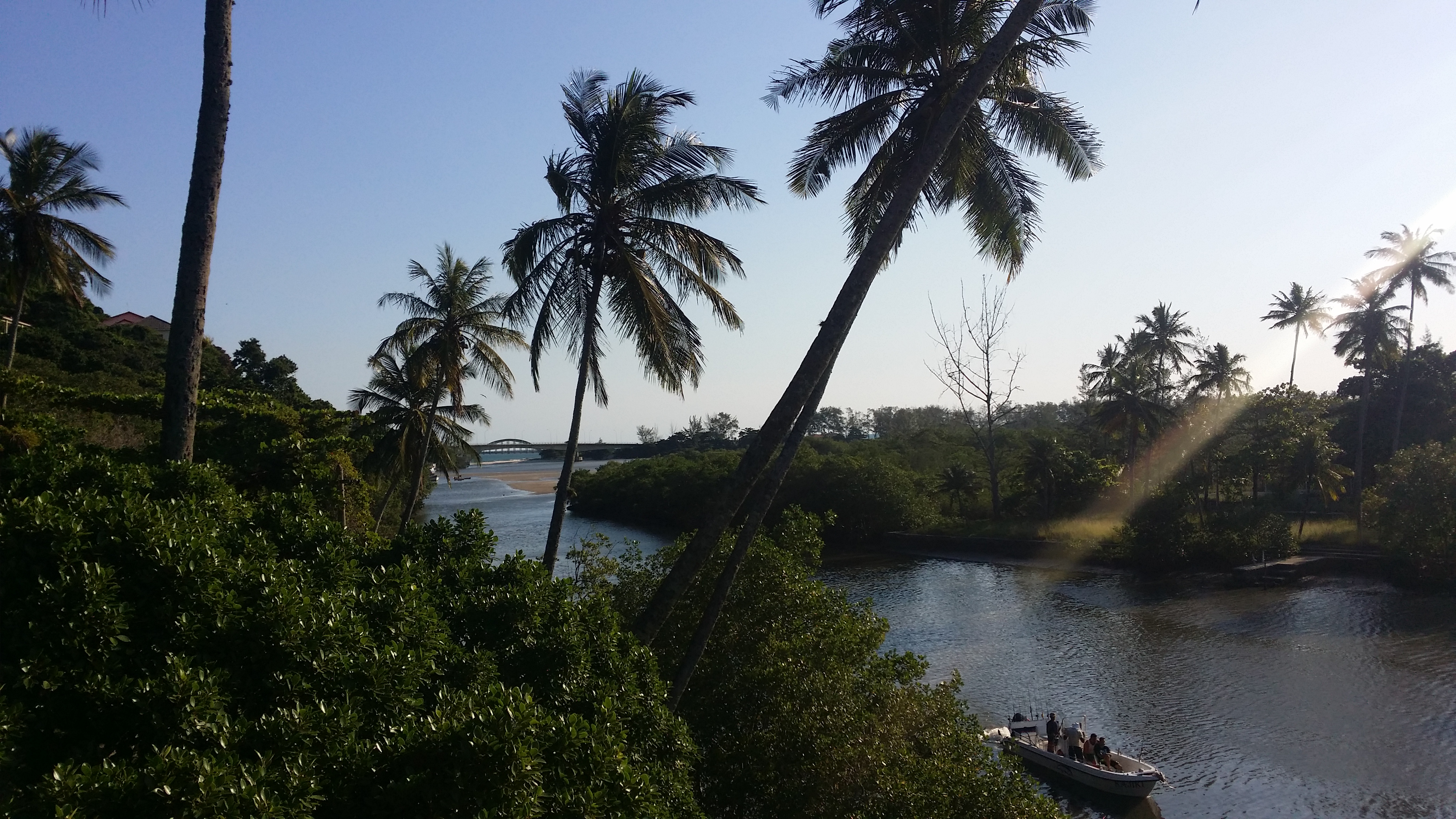
A brackish-water forest
Mangroves grow where fresh and salt water meet, with tides that flood and expose the ground. Their trees are adapted to soft, low-oxygen sediment. From the shore, the forest may look impenetrable, but every root, trunk and channel belongs to an environment that supports biodiversity and protects the coast.
The Guaratiba State Biological Reserve protects a large remnant of mangrove associated with Baía de Sepetiba. The state agency reports that the unit covers about 3,360 hectares, including approximately 1,601 hectares of mangrove forest. These figures help convey the scale of the protected area; they are not a public-access boundary.
What these ecosystems provide
Mangroves provide habitat, shelter and breeding grounds for many species; they trap sediment, cycle nutrients and buffer coastal processes. They also store carbon and support the health of estuaries and bays. They are not an unlimited resource or a place to hike through; conservation means maintaining natural processes and reducing impacts.
Threats can include litter, changes to water flow, pollution and vegetation loss. The city and state conduct conservation and restoration work, but visitors should not enter work areas or plant vegetation on their own.
Biological reserve and access
A biological reserve is a strict-protection category. The Guaratiba State Biological Reserve is managed by INEA and is not a recreation park open for unrestricted access. This page’s map gives an approximate location; it does not mark a visitor entrance or public trails. Ask INEA directly about educational activities or authorized visits and follow its instructions.
I do not share coordinates for docks, channels or internal access points that could lead to sensitive places. I also do not recommend crossing mangroves by kayak or on foot without authorization and appropriate guidance. Water, mud and roots can hide uneven ground and wildlife; entry may be dangerous and damaging.
Tides and responsible wildlife watching
Tides change how much ground is exposed, which channels are visible and where boats can pass. From a public shoreline, check local conditions and stay away from channels with currents. Avoid heavy rain, storms and poor visibility. If an officially open boardwalk or interpretive point is available, follow its hours, capacity limit and signs; do not assume one exists in every sector.
My mini mission is to listen, look and draw: from a public place, find where water meets vegetation and sketch how you imagine it changes with the tide. Do not capture animals, use food to attract them or play sounds that could disturb them. Patient observation is better than a selfie inside the mangroves.
What to pair with this guide
To understand the landscape, also read the guides to Barra de Guaratiba, Pedra de Guaratiba and the mountain-to-sea transition. For an in-person visit, choose an authorized public place and plan transport, tides and food separately. I do not link neighborhoods through a mangrove route or turn the biological reserve into a commercial tour.
My advice: if there is no confirmed public place to view the mangroves that day, enjoy this guide as a learning experience and choose another open place. Care also means knowing when to observe from a distance.
Sources and planning
INEA: Guaratiba State Biological Reserve → · State Secretariat: Guaratiba Biological Reserve and mangroves → · City Hall: municipal mangrove areas →