
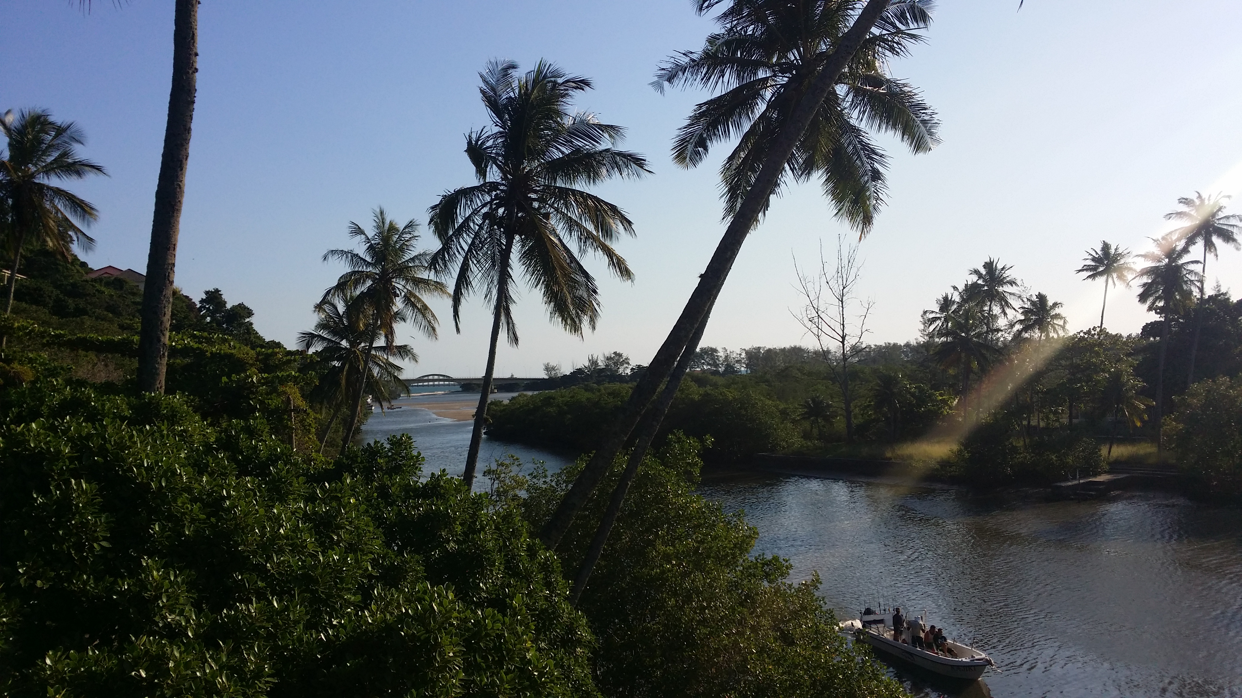
A neighborhood between mountains and coast
Barra de Guaratiba occupies a distinctive place at Rio’s western edge. Green hills, beaches, canals and Baía de Sepetiba create a landscape unlike the urban beaches of Centro and the South Zone. I do not reduce the neighborhood to a hiking base: it is also a place of daily life, work, fishing, food and a long relationship with the water.
Riotur describes the western area from Barra de Guaratiba to the Guandu River mouth as a landscape of wetlands, mangroves and fishing communities. That overview does not replace residents’ oral histories. When I write about the area, I acknowledge what I do not know and avoid turning communities into a backdrop for visitors.
Read the map with care
Barra de Guaratiba, Pedra de Guaratiba and Ilha de Guaratiba are distinct places. Their names are similar, but their landscapes, access, histories and activities are not interchangeable. Barra has a coastal, mountainous setting; Pedra de Guaratiba relates to a different part of the bay and a history of fishing and coastal settlement; Ilha de Guaratiba has a different territorial layout.
My map shows the neighborhood in broad terms. It does not provide access to remote beaches, stairways, hillsides or paths across private property. If an activity requires a guide or authorization, choose an authorized operator and confirm conditions. I do not follow social-media routes that are not listed as official public access.
How to plan a visit
Transport requires planning. I check current options for getting there and back, traffic and the exact route to my chosen destination. I do not give a fixed bus frequency or travel time; both vary by day, roadworks and final destination. On the coast, I also check sea and tide conditions for activities involving water or boats.
The neighborhood has a food tradition centered on fish and seafood, but I still confirm opening days, reservations and dietary options directly with each establishment. I do not invent one schedule for the neighborhood or all its beaches. Each park, pier, restaurant or outing has its own conditions.
Nature and conservation
The area includes valuable coastal ecosystems and conservation units with different purposes. The Guaratiba State Biological Reserve protects mangroves and is managed by INEA. A strict-protection biological reserve is not a free-access tourist trail. The APA da Orla da Baía de Sepetiba covers a broad area and is not an attraction with a single entrance either.
The responsible way to experience nature is to use authorized public sites and consult the relevant manager. I keep my distance from wildlife, do not enter mangroves or wetlands on my own and do not share directions to vulnerable access points.
What to combine and a Carioca mission
I can pair a neighborhood visit with a confirmed local meal, a beach or an open public space. I can also read about Guaratiba’s mangroves and the mountain-to-sea transition beforehand, but I do not schedule every topic as a consecutive stop. Sometimes the best outing is to rest, enjoy the view from a public place and talk with respect.
Mini mission: from a safe place, notice three neighborhood sounds and three layers of the landscape—terrain, water and vegetation. If boats or fishing activity are nearby, do not enter work areas or photograph people without permission. My advice is to make the outing good for residents as well as visitors.
Sources and planning
Riotur: Inside Rio, West Zone and Guaratiba → · SMAC: APA da Orla da Baía de Sepetiba → · INEA: Guaratiba State Biological Reserve →